Archaeology
Detailed 3D Photogrammetry survey using Drone DGPS Survey.
Photogrammetry is a technique that uses photographs to measure and map objects. When combined with Drone technology and DGPS, it offers a powerful tool for Archaeological surveys.
Roads and Highways
Drone Surveys and Videography Drones have become invaluable tools for inspecting and maintaining Roads and Highways. Their ability to capture aerial footage provides a unique perspective that is often difficult or impossible to obtain from the ground.
Railways
Aerial Topographic Survey, FLS and PET
Aerial Topographic Survey (ATS), Final Location Survey (FLS), Preliminary Engineering, and Traffic Survey (PET) are integral components of railway project planning and development. They provide essential data for designing, constructing, and operating railway lines efficiently and safely.
Metro
Drone Survey
Drone surveys have become a valuable tool for inspecting and maintaining Metro lines. Their ability to access difficult-to-reach areas and capture high-resolution imagery provides a unique perspective that is often impossible to obtain from the ground.
Oil and Gas
Drone Videography for Pipeline Inspection and Tank Monitoring.
Drone videography has become a valuable tool for inspecting pipelines and monitoring storage tanks in the oil and gas industry. Their ability to access difficult-to-reach areas and capture high-resolution footage provides a unique perspective that can significantly enhance safety and efficiency.
Our Sectors
Our Prestigious Clients
INDIA
EUROPE
U.S.A
ASIA
AFRICA
AUSTRALIA
Our Global Presence
INDIA
EUROPE
U.S.A
ASIA
AFRICA
AUSTRALIA
Unlock the Potential of Geospatial Intelligence with Hantech!
Contact us today to discuss your project requirements, and let’s embark on this geospatial adventure together!
About Us
MD DESK
Nitin Sharma Founder and C.E.O of the Hantech engineering technology Pvt. / DROBO technologies. and he is running hantech company since last three years or till now have completed 100+ projects successfully.
He having 18+ Year experience in Geospatial Technology and Experienced Geographic Information System professional with a strong background in Information Technology, Geospatial Solutions & Solution Management and Geograpszhic Information Systems GIS. Skilled in Global Positioning System GPS, GIS Products Enterprise Software Product Development (SAP), Python/Arc GIS Products, LiDAR Server, SQL. He currently exploring different roles of Spatial Databases and Cartography on a more complex scope. He have successfully delivered multiple geospatial projects.
INTRODUCTION
Hantech Engineering and Technology Pvt. Ltd.is a n ISO 9001:2008 & ISO 270001:2013 certified Start up recoganized by DIPP providing Geospatial Services (GIS, CAD, LiDAR and Photogrammetry) and Engineering Services – BIM (Architectural, Structural and MEPF) to the worldwide market since 2019 Hantech Engineering and Technology was estabilized on 6th feb 2019 with vision of imparting Geospatial services globally Hantech conducts Topographic surveys, LiDAR Processing (Airborne and terrestrial), Photogrammetry Processing, Digital Mapping, Orthophoto Production, Volumetric Calculations, and other Related Services. Our firm serves all levels of Government/Private/PSUS in Infrastructure Engineering, Irrigation, Agriculture, Railways, Power, Forestry, Mining, Construction, Industrial and Consulting Companies Our team consists of experienced Engineers, surveyors Environmental,draughtsm ,photogrammetrists, LiDAR experts ,hydrographic surveyors, GIS experts & Cartographers. Company’s top priority is to provide exemplary service and quality. We focus on exceeding the expectations of our clients in order to ensure their complete satisfaction. Please call for consultation regarding all of your geospatial needs and find out how we can
tailor innovative solutions to meet your projects specific requirements.
OUR VISION
OUR MISSION
Hantech provides professional geospatial services in strict adherence to the highest ethical and technical standards. We understand that each of our client’s needs are unique, however, they all require timely, technically sound and cost- effective solutions. Our standard business practice is to work with each client by clearly defining project scope and corresponding requirements to develop the right solution on target
OUR Strength
WE PROVIDE DRONE SERVICES
Our Services:
- Photogrammetry Services
- Geographic Information System
- Light Detection and Ranging
- Scan to BIM
- Drone Surveying & Videography
- Cadastral Mapping
- Bathymetric Surveys & GPR Survey
OUR JOURNEY
Uploading Soon....
OUR TEAM
RAJVEER SING
C.E.OExperienced :- 10+ year in Drone Technology
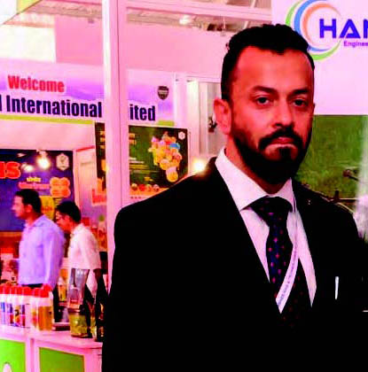
SHRI DIGVIJIYE SINGH THAKHUR
GM BusinessExperianced :-12 year in M.sc Geoinformatics
S.K SHARMA
SR. ManagerExperienced :- More then 30 year in Multinational Projects
SELLA FRANCIES
HR ( HUMAN RESOURCE MANAGEMENT )Experienced:- 16 year
Service Premises
Our complex has office space and convenience stores on the ground floor. There's lot of hate out there for a text
Environmental Solutions
We care about the environment, which is why we use LED lighting and have a charging station for electric vehicles clients
Ease of Management
You just buy an apartment, and a professional hotel operator will do the rest for you. That Amounts to little more than garbled words
Guaranteed Income
Guaranteed monthly incom is prescribed in advance in the contract. True enough, but that's not all that it takes to get things
Great Location
A pledge of a secure rental of your apartment. A client that's unhappy for a reason is a problem, a client that's unhappy