3D modeling has become an indispensable tool in the geospatial sector, providing visual representations of the real world for various applications using Photogrammetry and LiDAR Technologies. Here’s a breakdown of deliverables and services:
Deliverables:
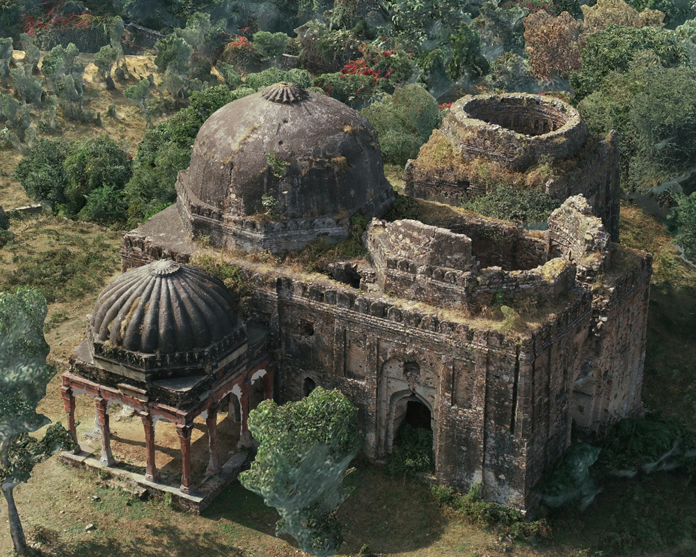
Building models: Constructing accurate 3D representations of buildings, including roofs, facades, and interiors.
Terrain modeling: Creating detailed 3D representations of the earth’s surface, incorporating topography, vegetation, and water bodies.
Urban modeling: Building comprehensive 3D models of cities, including infrastructure, transportation networks, and land use patterns.
3D point cloud processing: Manipulating and analysing massive point cloud datasets to extract valuable information.