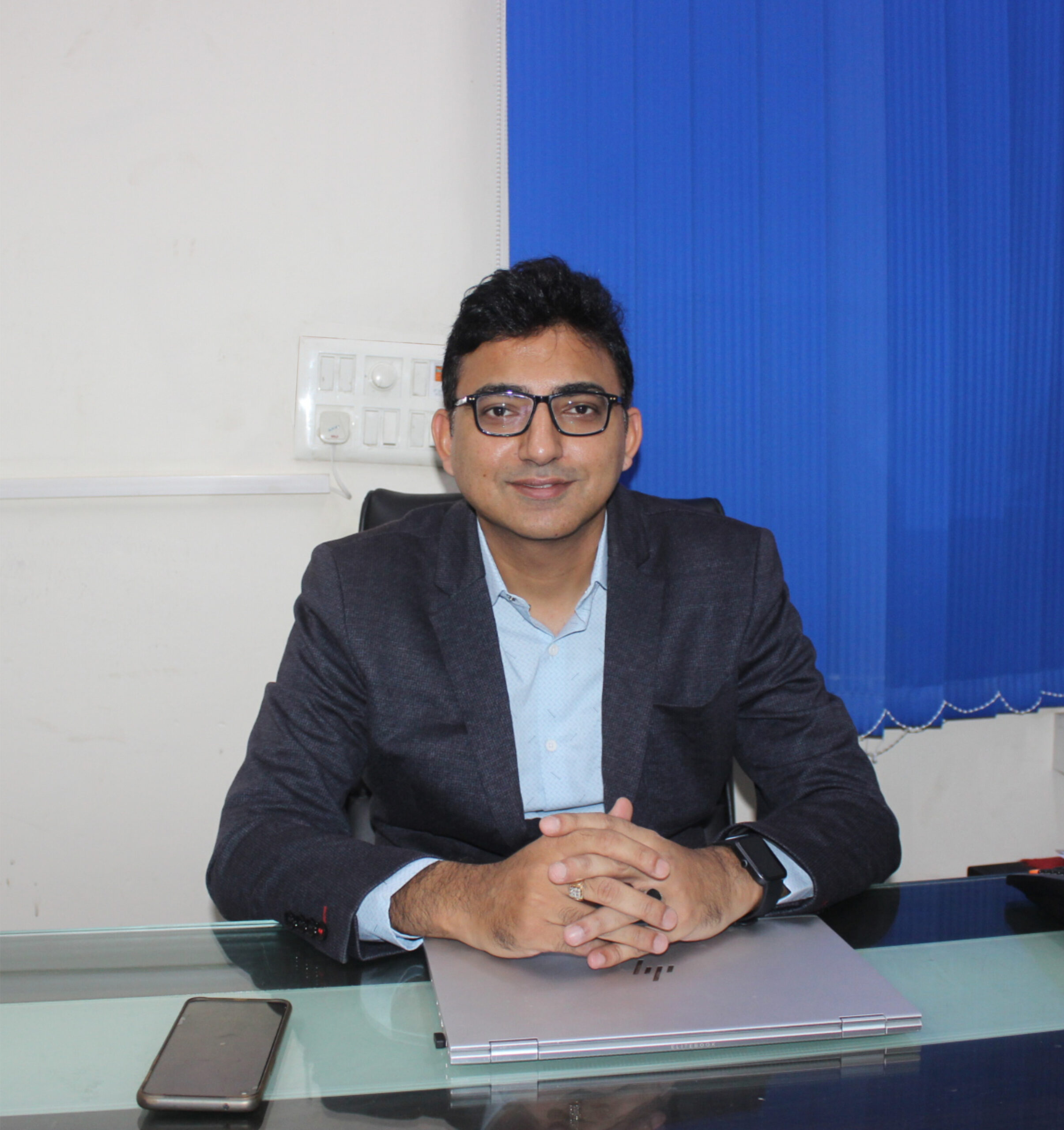
Nitin Sharma
Founder and CEO
Hantech Engineering & Technology Pvt. Ltd.
About Us
About Founder
Our Journey to Excellence
Hantech Geospatial Solutions that Empower
At Hantech, our core focus lies in delivering geospatial services that empower our clients to make well-informed decisions. Our expertise
spans a wide range of advanced technologies, including Photogrammetry Services (Satellite/Aerial/Drone), Geographic Information
Systems (GIS), Remote Sensing, Topographical Survey, DGPS Survey, LiDAR Data Processing, Scan to BIM, Drone Surveying and
videography, Cadastral Mapping, Bathymetric Surveys & GPR Surveys, and other innovative geospatial services.
Hantech Comprehensive Geospatial Services
At Hantech, we offer a comprehensive suite of geospatial services to cater to a diverse range of industries and applications. Whether
you need accurate mapping, 3D modeling, environmental monitoring, or efficient surveying, our expertise extends to meet your specific
requirements.
Join Us in Transforming the Geospatial Landscape
As we stride confidently into the future, we invite you to be a part of this geospatial revolution. Partner with Hantech Engineering and
Technology to unlock the full potential of geospatial data and drive your projects toward success.
Let us collaborate to explore new frontiers and harness the power of geospatial intelligence for a better, more connected world.
Contact us today, and let's embark on this transformative journey together!
Our Vision
To offer universal and innovative solutions for integrating spatial information into the systems and processes of organizations. To be considered among the premier engineering, design, and geospatial data processing service companies in the energy, Oil and gas, forestry, pipelines, and urban planning industries by our customers, competitors, and agencies. We strive to maintain and promote the proper balance between safety, quality, and financial performance while people and the environment remain our most valued and highest concerns
Our Mission
Our mission is to provide innovative,
accurate, and reliable geospatial technology
services that help our clients make informed
decisions and achieve their goals. We strive
to use the latest technology and techniques
to deliver high-quality data and insights that
are essential for successful project planning,
design, and execution.
Our Strength
Hantech strength lies in its core of competent, highly qualified, trained and experienced surveyors, geoscientists, and skilled computer and software
professionals known for the development of the innovative program to provide cutting edge technology-based services. The team of our members is drawn from the best institutions in India in various disciplines
Our Team

RAJVEER SINGH
C.O.O
(Chief Operating Officer)

DIGVIJAY SINGH THAKUR
General Manager Business

S.K SHARMA
SR. Manager

STELLA FRANCIS
HR
(HR Administrator)

Rabbani "Robin" Khan
VP- International Sales & Marketing
We work through every aspect at the planning
Our company history and facts
I should be incapable of drawing a single stroke at the present moment; and yet I feel that I never was a greater artist than now.
Design & development process demonstration
A wonderful serenity has taken possession of my entire soul,like these sweet mornings of spring which I enjoy with my whole heart.


