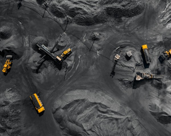
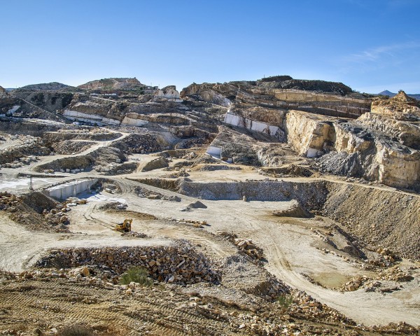
By capturing precise geospatial data, we help optimize operations, improve safety, and reduce costs. Our technology enables accurate volume calculations, stockpile management, and hazard detection. With detailed 3D models and maps, mining companies can make informed decisions, enhance efficiency, and ensure environmental compliance.
Our services
Topographical survey
Volumetric Estimation
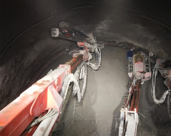
Assets and Infrastructure Inspection
Aerial Survey and 3D modeling of mines
Base Mapping for Site Designing
Site Surveys During Construction
Production Inventory
Stockpile Management
Geotechnical Inspection and structure Characterization