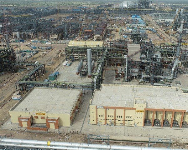
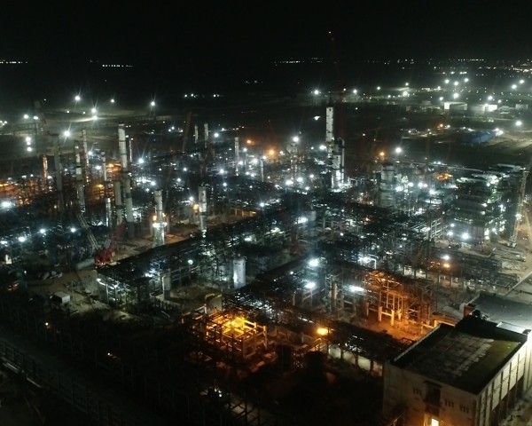
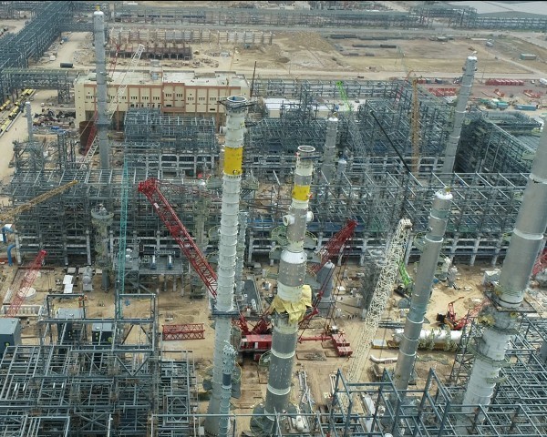
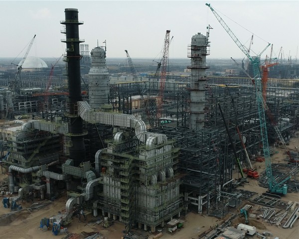
Drones are revolutionizing the oil and gas industry by providing efficient and accurate aerial inspections.
Equipped with thermal sensors and cameras, drones can detect early signs of corrosion, leakage, and
other issues. This timely data helps maintenance teams address problems proactively, preventing costly
failures and accidents. Drones also reduce risks for employees by minimizing human intervention in
hazardous environments.