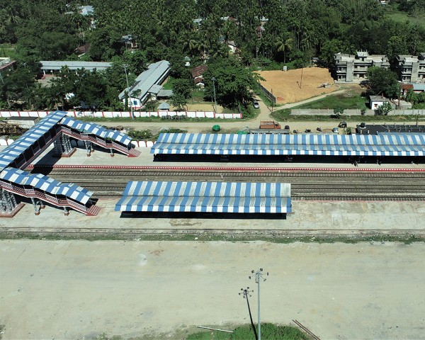
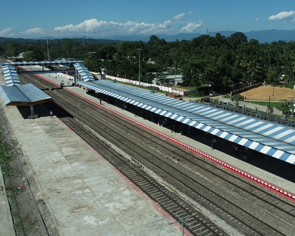
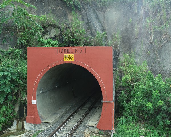
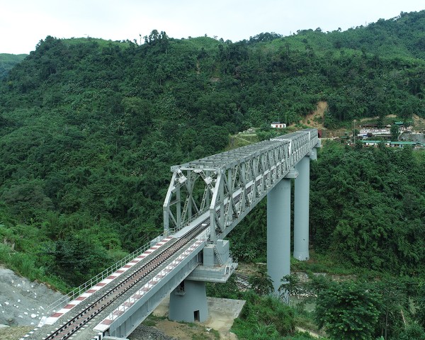
India’s vast railway network faces challenges in asset management and surveying. Hantech offers drone and LiDAR solutions to address these issues. Our technology helps with project planning, construction monitoring, and asset inspection. Drones capture detailed images safely, while LiDAR provides accurate ground measurements. This data helps create precise maps and 3D models for better decision-making. Hantech supports Indian Railways in building a modern, efficient rail network.