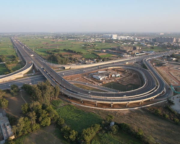
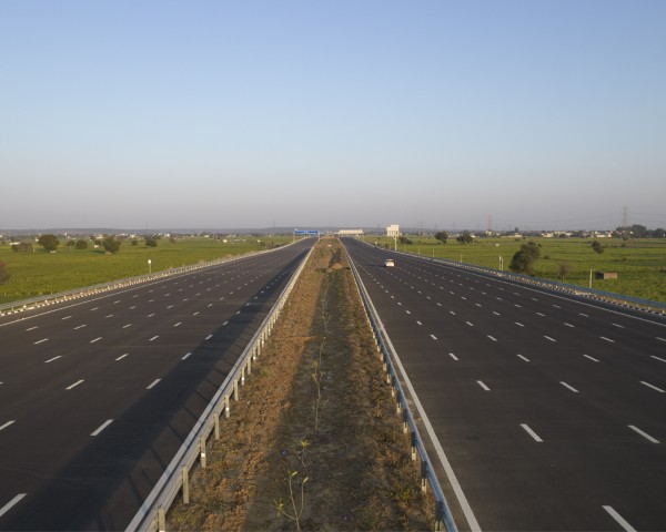
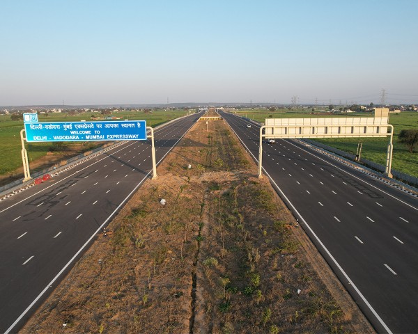
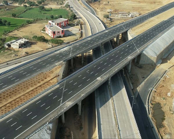
Drone and LiDAR technology is transforming the road and highway sector by providing precise and detailed data for efficient planning, construction, and maintenance. These advanced tools capture topographical information, identify obstacles, monitor construction progress, assess bridge conditions etc.
HET offers advanced drone and LiDAR technology to capture precise topographical data. Our solutions accelerate project timelines, reduce costs, and improve road safety. By creating detailed maps and identifying potential challenges, we help build better roads for India’s future.