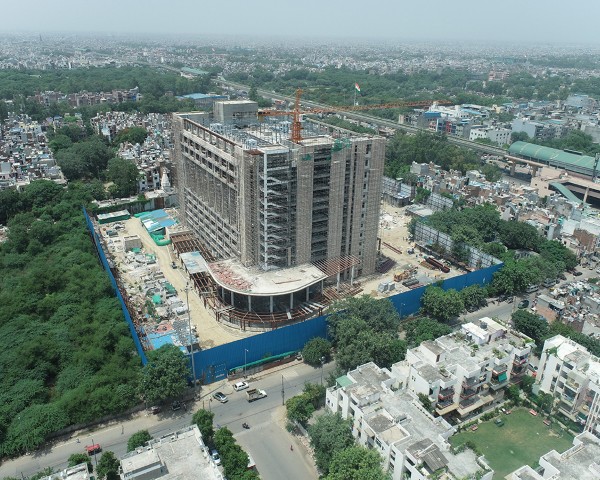
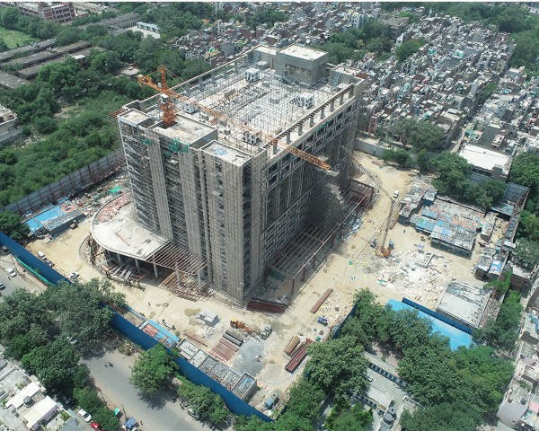
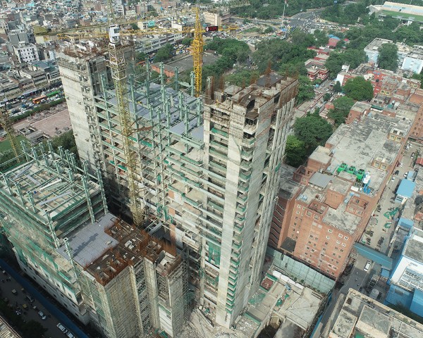
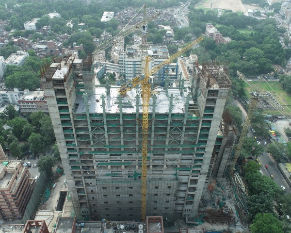
Drones have become indispensable tools for urban planners and managers. Their ability to capture high-resolution aerial imagery and data efficiently offers numerous benefits, such as land use assessment, infrastructure inspection, disaster response, and environmental monitoring. By providing timely, accurate, and cost-effective information, drones are revolutionizing the way cities are planned, developed, and managed, contributing to more sustainable and resilient urban environments.