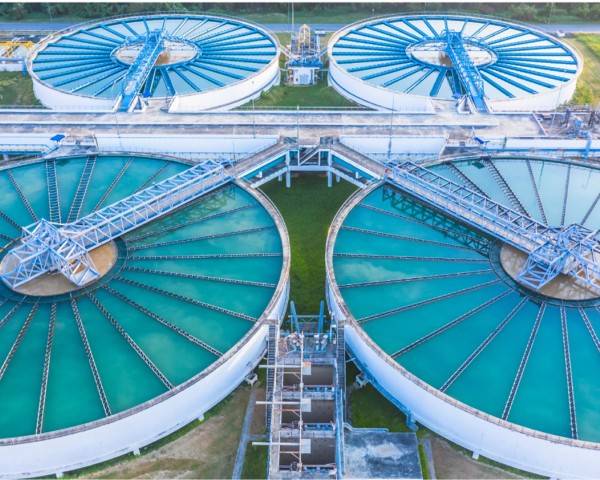
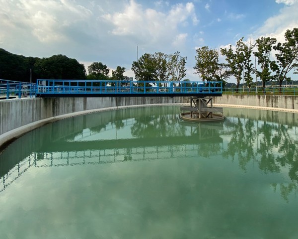
Drones have revolutionized water management by providing efficient and cost-effective data collection. These aerial platforms capture high-resolution imagery, enabling tasks such as inspecting infrastructure, assessing disaster damage, optimizing irrigation, and supporting hydropower operations. Drones offer faster data acquisition, increased accessibility to remote areas, and improved safety compared to traditional methods, making them invaluable tools for water resource management and protection.
Our services
Topographic Survey
LiDAR Survey For Canal Alignment
Aerial Inspection
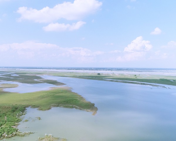
River Modeling and Canal Interlinking Studies
Terrestrial LiDAR Survey and Drone Inspection for Dam Break Analysis